Third Visit to Roma Sacred Tree
A journey to the Roma Sacred Tree, including a detailed timeline and activity records.
D0: Taipei ⇢ Yilan
Neihu
Packed in the evening, planning to go to Yilan after work the next day, and then take the early bus to the trailhead on Friday morning.
Yilan Bus Station
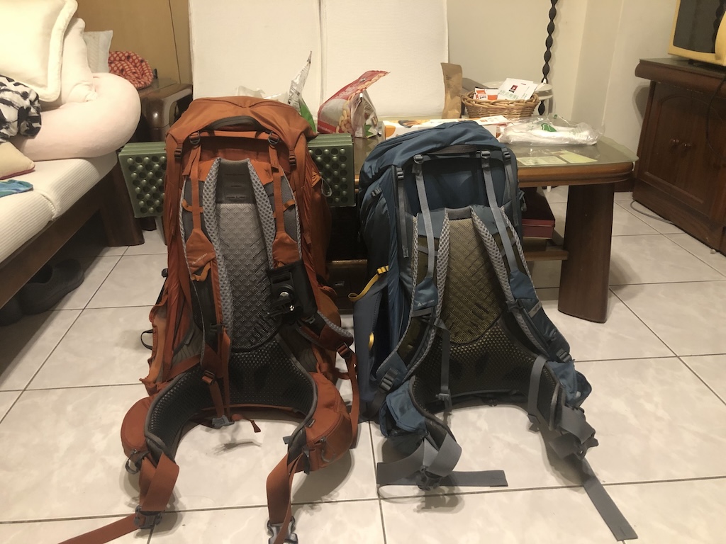
After work, went home to get the backpack, then had dinner at Nangang Bus Station. I had McDonald's, and Nina had a bento from Red Bean Restaurant. While eating, we wondered why the bus hadn't arrived yet, only to realize it departs from Yuanshan Bus Station at nine. After taking the bus to Yilan Bus Station, we followed the plan to buy water at PX Mart, purchasing five bottles (1.5L x 4 + 0.6L x 1), totaling 7.35L with a 0.75L water bottle, expected to last until Dajia River. Then we went to Central Woods Hostel for a brief cleanup before sleeping, staying in the same double room on the third floor without encountering anyone.
D1: Yilan Bus Station ⇢ Roma Sacred Tree
Yilan Bus Station
After leaving Central Woods Hostel, we bought breakfast at a traditional breakfast shop downstairs. I bought a sesame seed cake with fried dough and soy milk, and Nina bought an egg pancake with milk tea, exactly one hundred dollars, so we didn't need to bring change up the mountain. On the way, Nina originally planned to buy a rice ball but decided not to because she didn't want to carry change. Finally, we bought a rice ball at the FamilyMart in the bus station and ate breakfast there. There were fewer people on the bus today than in previous times.
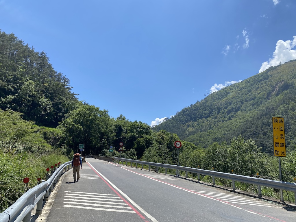
Siyuan Police Station
At the trailhead, I refilled nearly one and a half liters of water from the stream, totaling 8.1 liters of water and an unopened bottle of coffee. We also started recording the journey with a sports camera here. After crossing the stream, we began to drill through the forest and then walked onto a new path. The new path was somewhat like bushwhacking, without ribbons, but the trail was obvious, with occasional remnants (towels and water bottles?). The path was steep and loose, possibly created because the original path was impassable. I had no problem walking, but Nina got stuck on a slope, causing the water bottle to slip out of the backpack's side pocket, so we had to go back down to retrieve it. She then slipped and fell on the slope, unable to move, but fortunately, she wasn't injured. After a few turns on the steep slope in the forest, we finally returned to the normal route.
The Only Open Area
Luoyewei Pond
Luoyewei Mountain
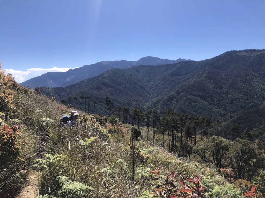
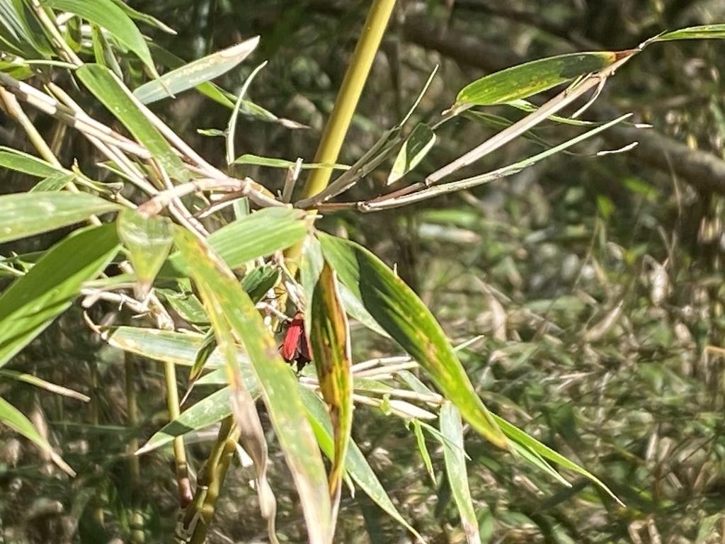
Arrived at the Luoyewei Mountain triangulation point, and Nina thought this was the campsite for the night🤔. After leaving the triangulation point, we descended steeply, seeing a "Ponyalis dolosa" on the way. At that time, we didn't know what it was, just thought its antlers-like antennae were cool. At six o'clock, Nina's speed decreased significantly, even though we were close to the sacred tree, the reduced speed made it take much longer to reach. At six-thirty, I finally decided to turn on the headlamp and frequently checked the offline map. Nina later said she suspected we were lost at that moment. In reality, although the path and ribbons were hard to see, we didn't stray off course. It was just that the reduced speed made the last five hundred meters feel endless🤣.
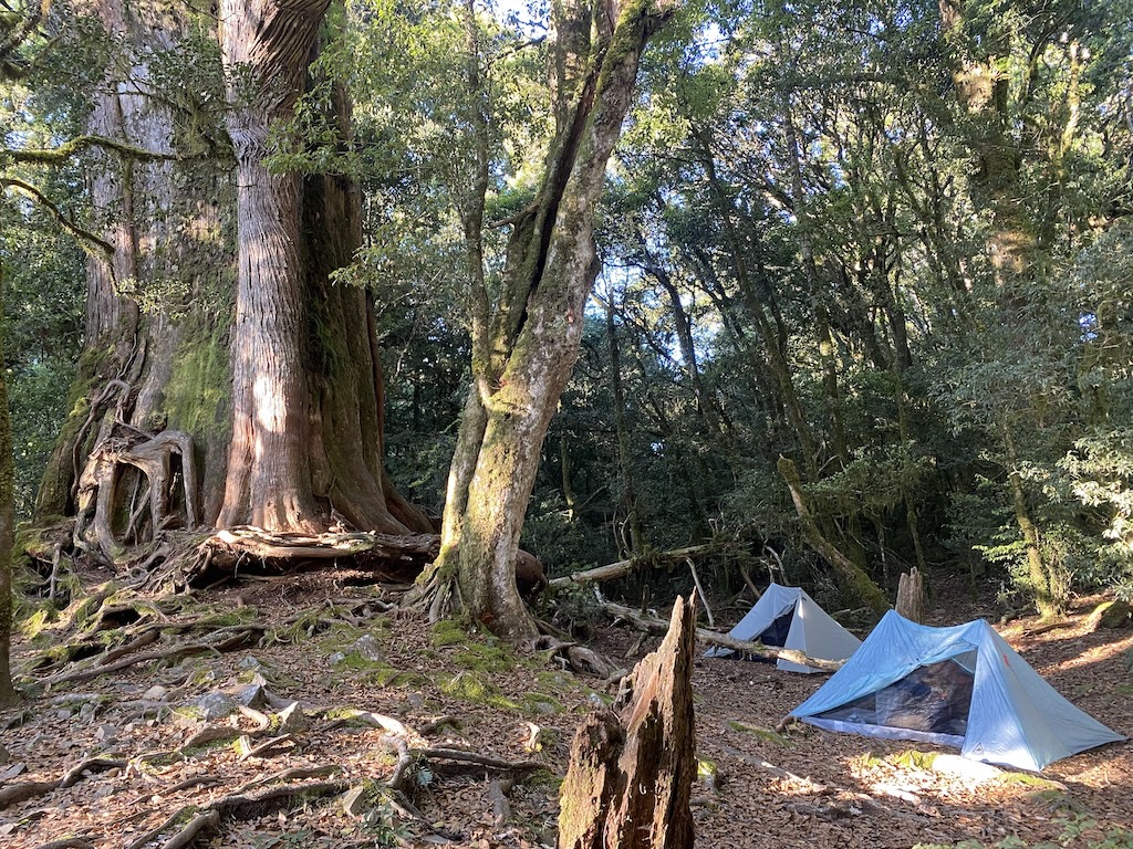
Roma Sacred Tree
Arrived at the Roma Sacred Tree, briefly inspected the campsite, decided to place the two double tents about four meters apart, and discussed the entry and exit routes with Nina. After setting up camp, we boiled water for Nina to make instant rice and soup, while I tried a no-cook dinner for the first time. After dinner, we prepared to sleep. Before midnight, there was constant lightning but no thunder (said to be inter-cloud lightning), and it didn't rain all night.
D2: Roma Sacred Tree ⇢ Taipei
Roma Sacred Tree
Woke up, had breakfast, and packed. After packing, set up the camera for a time-lapse of packing the tent, then played with the camera remote and took photos with the sacred tree. Considering that it only took three hours to reach Dajia River the first time, I told Nina we could take our time going down the mountain.
Mawuzanye County Mountain
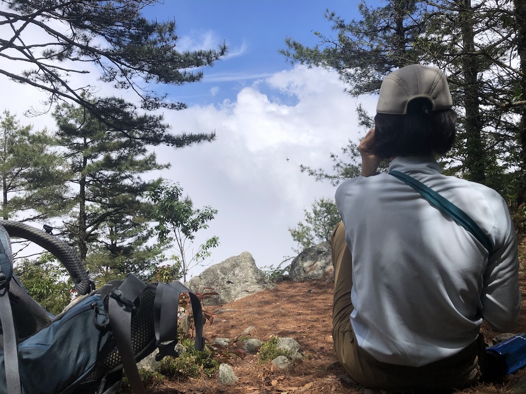
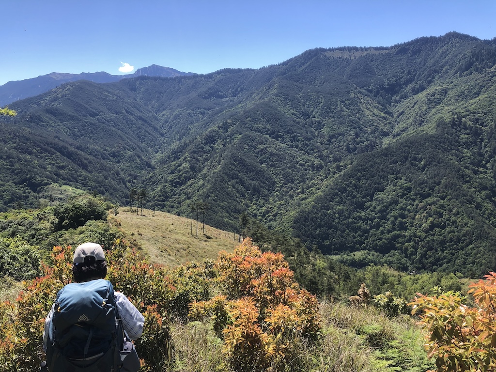
Reached the Mawuzanye County Mountain triangulation point and started enjoying the view, Nina was in a great mood. We walked and took photos along the way, although the temperature rose later, there were still small trees by the roadside for shade and rest. At the triangulation point, Nina noticed the cute calls of the Brownish-flanked Bush Warbler, which sounded like imitating bombers, and Nina connected them to our impression of Kamakura: "Hmm⤴⤴⤴⤴⤴ build~~build-build~".
Dajia River
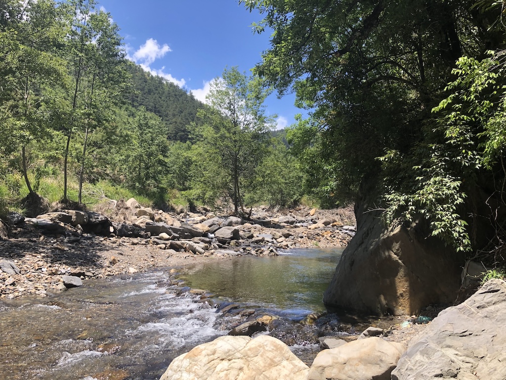
Arrived at Dajia River, knee-deep water, but there was a small dam made of stones upstream, where the water flow was slower, allowing us to cross barefoot. There were many tadpoles in the slower-flowing areas by the river. We soaked our feet, ate, and relaxed until around one o'clock before heading to Shengguang Police Station to wait for the bus. Since we had to wait for another hour, we took a stroll to the convenience shelter at the Nanhu trailhead. Then we made a reservation for marriage registration outside Shengguang Police Station❤️.
Nanshan Village
Bought two meat buns, a silver roll, and a scallion roll in Nanshan Village, each costing twenty dollars. Partly to fill our stomachs, partly to thank the shop for providing a restroom. However, because the driver drove faster in the previous section, swaying left and right, Nina felt uncomfortable and didn't eat, continuing to sleep.
Rainy Neihu
The weather was great throughout the journey. We didn't encounter rain until we returned to Neihu, which seemed to have just finished raining, lucky! 🍀